Orientation week on campus should not be a Maze Runner event. Digital wayfinding for universities provides clear, context-sensitive directions in seconds on kiosks, on digital signage for universities, and on their phones. When it is done well, campus navigation becomes an element of student life: less anxiety, fewer missed classes, and more time to learn, socialize, and develop community.
What Is Digital Wayfinding for Universities?
Digital wayfinding in universities is an integrated network of interactive maps, touch kiosks, mobile handoffs, and schedule-sensitive signage that helps people navigate complex spaces. Think of it as the campus in a real-time sense of direction, driven by maps and data and the best digital wayfinding software.
Interactive Maps
Search for a building, department, laboratory, cafe, or office by name, or tap to see step-by-step directions with estimated walk times. Great systems reveal open access routes, staircases vs. elevators, and construction diversions at a glance.
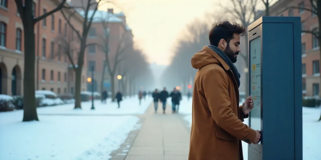
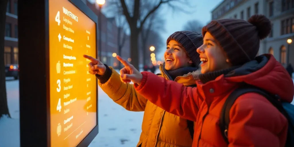
Touchscreen Kiosks
Atrium, library, student center kiosks, and large-format guidance can be used by anyone without downloading an app. QR codes can hand off the route to the mobile in one tap.
Mobile Integration
When you exit the kiosk, directions are not lost. Mobile helps you navigate outside and in between buildings—especially during orientation week and game days.
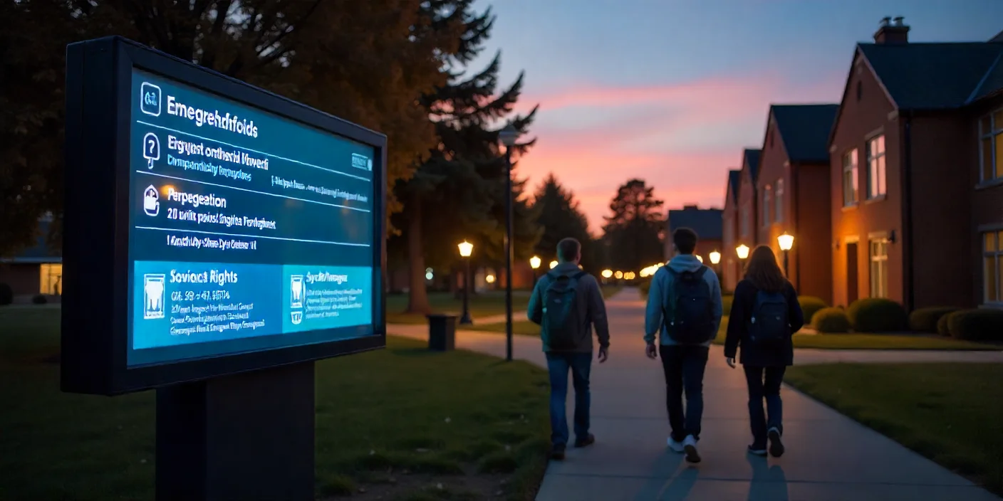
Digital Signage Displays
Lobby and corridor displays are used as wayfinding digital signage and schedule displays, such as “Next class in 10 minutes, Room B214” or “Shuttle diverted, use Gate C.”
Why Campus Navigation Fails (and How to Fix It)
Large, Multi-Site Campuses
Colleges cover neighborhoods and acres. In the absence of digital wayfinding, even students who are confident can waste ten minutes navigating between lecture halls.
Misleading Building Plans
The same wings, basement shortcuts, and inconsistent static signs cause wrong turns. A map that comprehends floors and connectors avoids backtracking.
Time Wasted Is Stress Added
Minutes of confusion add up to missed announcements, late arrivals, and unnecessary anxiety. Transparent paths and real-time updates reverse that script.

How Digital Wayfinding Software for Universities Works
University wayfinding software keeps a living campus model—buildings, floors, POIs, and paths—and then publishes to kiosks, mobile, and digital signage in universities.
Data and Routing Engine
Floor plates, outdoor paths, stairs/elevators, and maps are used to feed a routing algorithm. The directions are changed in real time based on policies (e.g., accessible routes only) and real-time inputs (closures, events).
Publishing & Governance
Admins update one source of truth; the changes immediately appear on kiosks, phones, and signage. Roles and approvals ensure consistency of content among colleges and departments.
Accessibility Built-In
The best digital wayfinding software has accessible paths, curb-cut crossings, and elevator preferences that are not extras but standard.
Benefits for Students (And Everyone Else)
Less Stress, More Confidence
New students and foreign guests are soon oriented. The early bird gets the worm, and confidence pays throughout the semester.
Time Back in the Day
Quick access to classes, labs, dining, and services will reduce late entries and facilitate transition between back-to-back lectures.
A More Enjoyable Campus Life
University wayfinding done with digital signage shows a modern culture that puts students first, at least when combined with useful announcements and universal design.
Faculty & Staff Win Too
Timetables vary; rooms move. By using digital wayfinding in colleges, professors take the shortest path to their next meeting, advisors find their way to the office, and office lines are reduced because students get to the right office the first time.
Beyond Directions: Digital Signage for Universities as a Communication Layer
Screens have dual use when there is navigation and messaging. University digital signage can be used to publicize events and deadlines and even provide emergency notifications. A residence hall lobby may display the club fair tonight; a science building may display lab safety reminders; a stadium concourse may display live queue times and alternate gates. In other words, information and guidance move together.
Accessibility Features You Should Expect
Voice guidance, high-contrast themes, screen-reader support (where the platform allows), multilingual content, and ADA-compliant routing. The most effective digital wayfinding software is not an add-on but rather a set of defaults, so all routes are accessible to all bodies.
Integrations That Make It Powerful
Introduce tie wayfinding to SIS/LMS and room scheduling so screens can know where you are going and where it is really located today. Shuttle timing, safety systems, and facilities to make closures in real-time are fed by transit feeds. This is digital wayfinding that knows the campus pulse.
Safety & Preparedness, Baked In
In case of emergency, directions are reversed: evacuation routes, shelter-in-place, and live alerts are sent to kiosks and signs. Since the map is authoritative, so is the safety message—clear, consistent, and immediate, both on wayfinding digital signage and mobile. Let us help you build a roadmap. Schedule your free consultation now.
Implementation Playbook for Universities
1) Map the Reality, Not the Brochure
Beach mats, bridges, ramps, doors, curb ramps, and difficult-to-find or see paths. Consult with student volunteers and facilities teams.
2) Put Kiosks Where the Decisions Are Made
Elevator banks, atriums, major junctions, and entrances. Mobile handoff QR is not negotiable.
3) Tap-Once Clarity Design
Clear search, most visited destinations at the top, and easy to see where you are. No scavenger hunts with multiple screens.
4) Keep It Current
New buildings, renamed rooms, and temporary closures occur on a weekly basis. Assign ownership so that updates in the college campus digital wayfinding software flow on a daily basis.
5) Measure and 100 percent improvement
Data analytics reveal unsuccessful searches, lengthy paths, and bottlenecks. Test content and position repeatedly.
Choosing the Right Platform (What to Look For)
accessibility,A powerful solution must provide kiosk + mobile + signage publishing via a single CMS; role-based approvals, routing accessibility; and schedule and safety integrations. Vendors that show precision in a pilot and explain why they are the best digital wayfinding software for your campus size and administration.
Tip: Other teams also call these systems wayfinding digital signage (note the two spaces in some literature) or simply campus digital wayfinding. Use the term that resonates with your stakeholders, but make sure the functionality covers your requirements.
Real-World Patterns That Work
Big research universities deploy touch kiosks in every building lobby and hand off routes to mobile; small colleges are mobile-first and provide a few critical path displays. Game day and a new semester create temporary POIs and traffic re-routes—then clean up automatically when the calendar changes. That is set and forget on the scale of digital wayfinding for universities.
What’s Next: The Future of Campus Wayfinding
It will tailor routes to schedule, mobility preference, and available time. The outdoor paths through construction zones will be guided by AR overlays. Voice maps will be useful when one is holding something. IoT connectivity with smart lighting and sensors will adjust routes on the fly. Whichever way you call it, digital wayfinding in colleges or enterprise-level digital wayfinding, the trend is student-centric, inclusive, and data-driven.
Map It Once, Help Thousands
Share a floor plan, a semester calendar, and your pain points. We will present a phased rollout, including kiosks at decision points, mobile handoffs, and schedule-aware digital signage to universities, all enabled by digital wayfinding software that your team can actually manage. Test a pilot, acquire rapidly, and scale with security. Our team is ready to guide you—connect with a specialist for a personalized walkthrough.
FAQs: Digital Wayfinding for Universities
What is digital wayfinding for universities?
A system of interactive maps, kiosks, mobility handoff, and signage offering step-by-step, accessible routes and timely information on campus.
How does digital wayfinding software for universities stay accurate?
Facilities and scheduling integrations update the master map; the CMS republishes immediately to kiosks, mobile, and wayfinding digital signage.
Is it useful beyond freshmen?
Absolutely. Transfer students, visiting scholars, event attendees, and even alumni weekends all rely on digital wayfinding to minimize friction.
What about international students and guests?
Multi-language interfaces and visual aids reduce language barriers. Support QR handoffs so that visitors do not need to download a full application.
How does this relate to digital signage for universities?
Signage is transformed into a moving communication layer: events, safety alerts, shuttle changes, and context-aware prompts that direct to the closest kiosk or mobile route.
What should we prioritize first?
Proper maps and a strategic kiosk locator. In the absence of these, the best digital wayfinding software cannot shine.